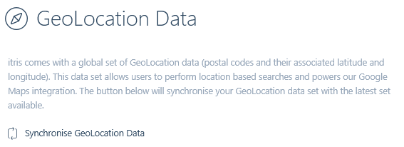
GeoLocation data is managed via the itris Management Utility (IMU) Data area.

itris comes with a global set of GeoLocation data, and here is where you can update to a later set of GeoLocation data if one is available.
GeoLocation searching is available against all record types, and postal codes added to records must be linked to the GeoLocations.
Users can set their unit preference (either Miles or Kilometres) in their user preferences, see the itris | Preferences article for more information.
